England’s South-West Coast Path is one of the world’s great walking routes, stretching from Somerset in the North, around the tip of Cornwall to the Jurassic Coast of Dorset.. We are lucky to have some 300 miles of that route here within Cornwall.
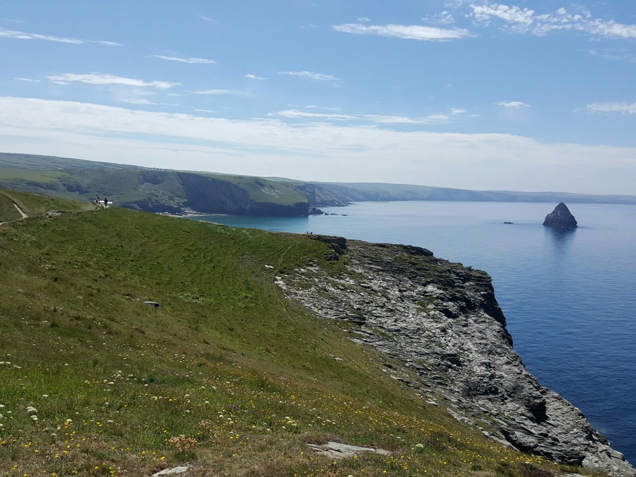
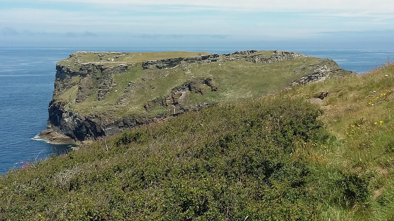
Recently, Alex and I took advantage of the glorious weather to take a walk along part of the Cornwall Coastal Path that was new to us. The stretch of the Path between Tintagel and Trebarwith Strand is typical of North Cornwall with it’s rugged rocky cliffs. That ruggedness is made even more dramatic here due to the scars of old slate quarrying. This is such a feature that the area is known as the “Slate Coast”. In fact, the coast path here is largely created from the old paths that the quarry-men used to access the mining sites.
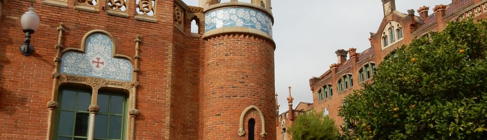
We started our walk just to the west of Tintagel. Looking back to the east we could see the island part of Tintagel Castle, while a little further on we passed the fabulously situated Tintagel Youth Hostel.
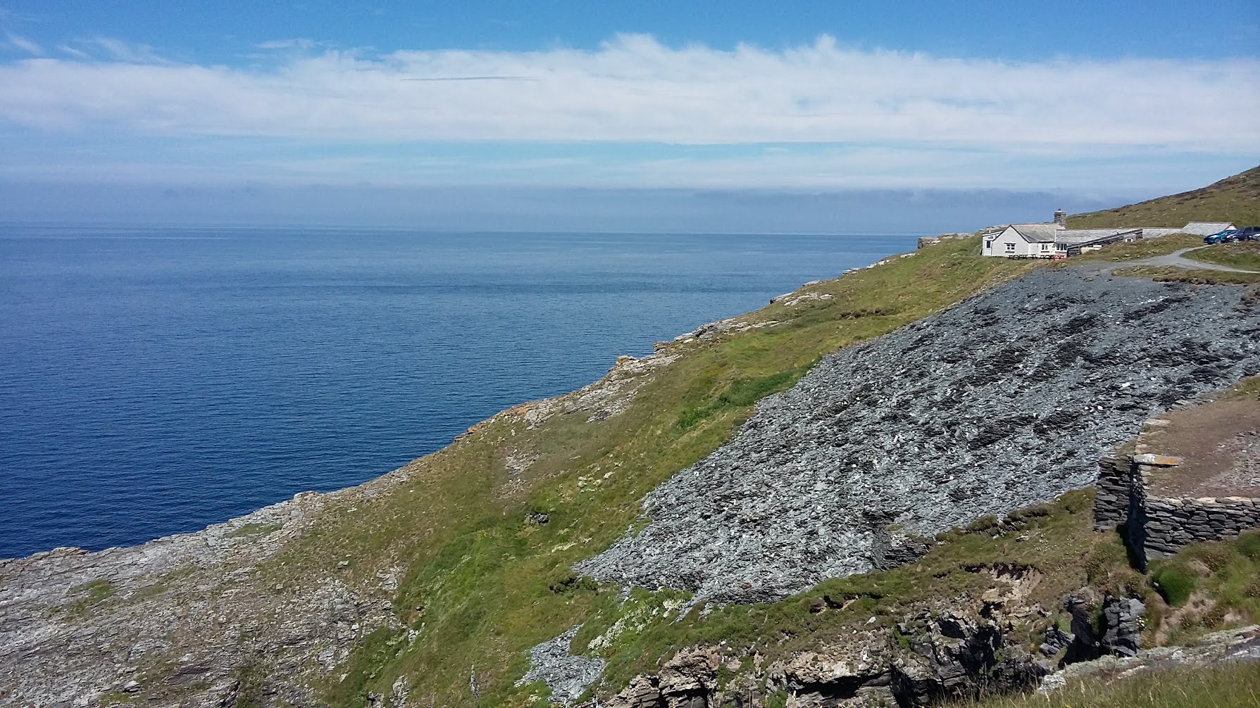
If you live in Cornwall you are used to seeing seas in shades of dark brooding greys. With summers we are having now however, there are more and more days when you can see the waters in clear, almost mediterranean blues and greens.


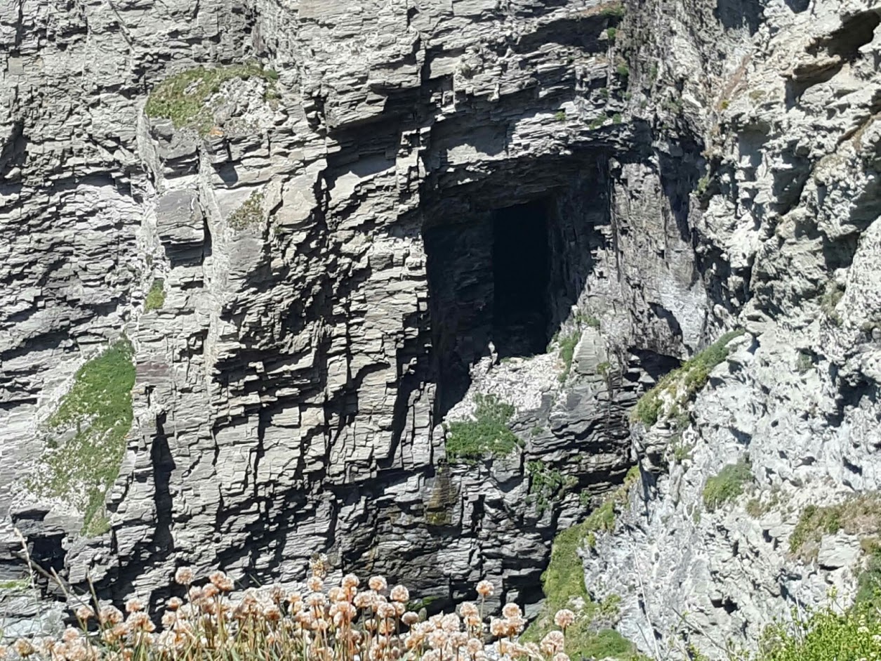
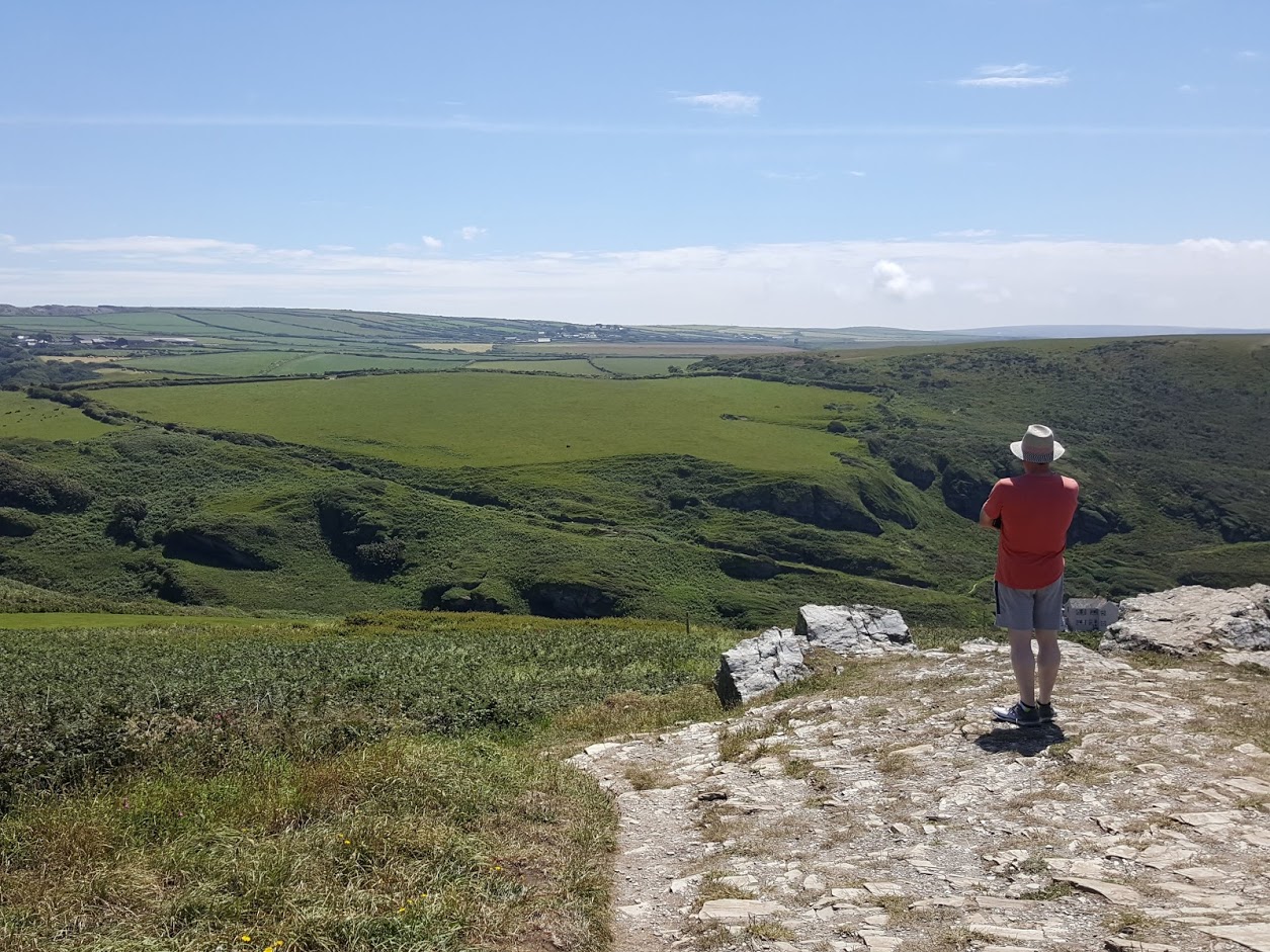
As Trebarwith Strand comes into view along the walk, one can see the huge scars that historical slate mining has left in the cliffs.

A feature of the quarry sites are the great rock pillars left undisturbed where the miners hit unsuitable rock. These now tower over the old quarry beds.


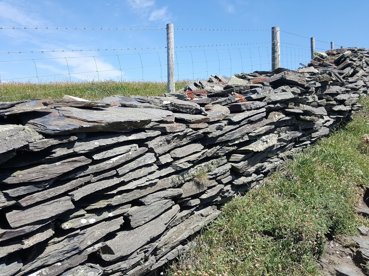
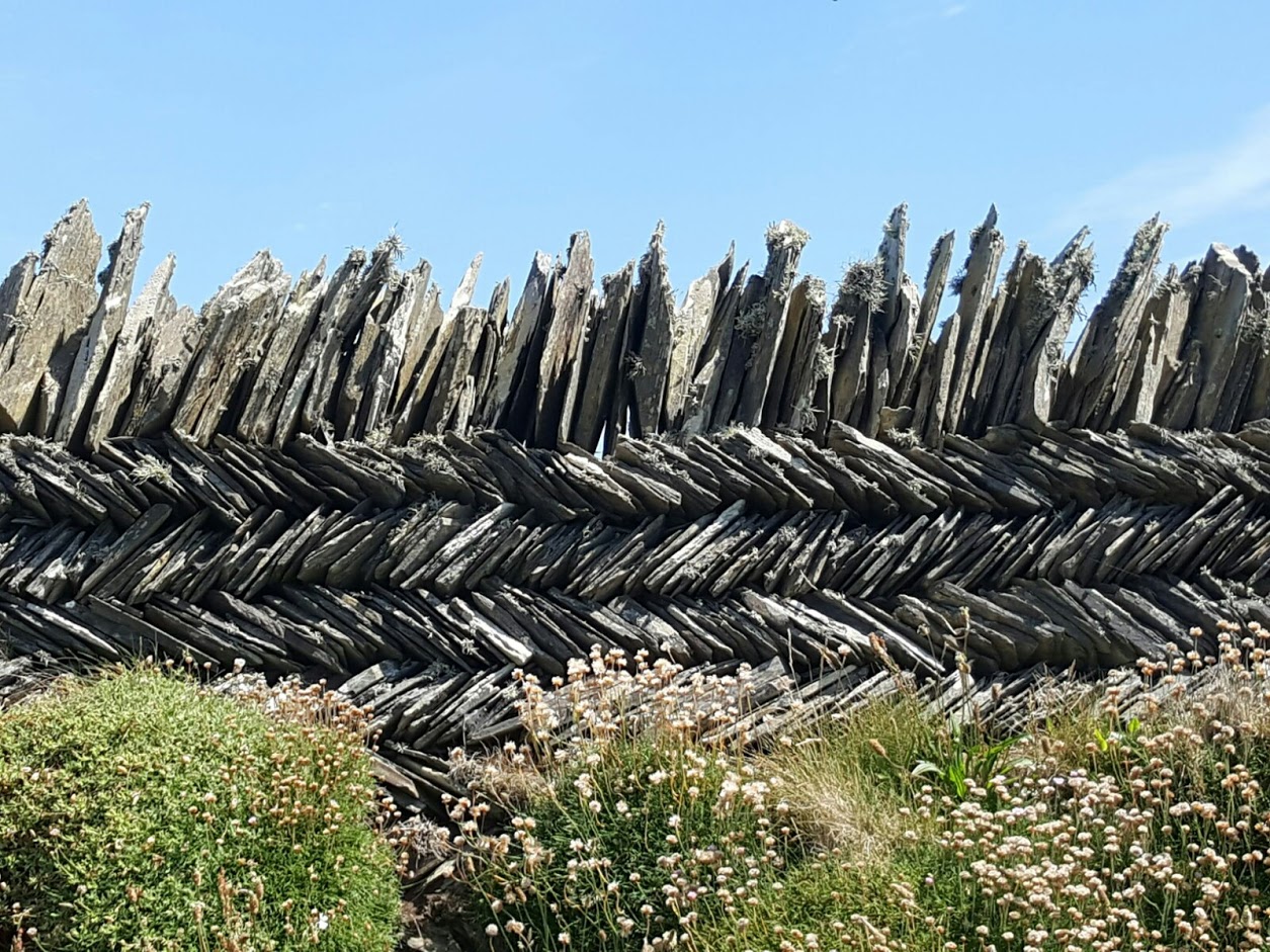
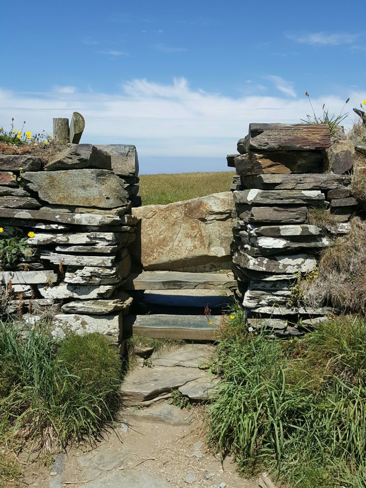
All the waste rock from the quarries has led to many variations of dry stone walling.


Stunning photos, thank you.
Hi Wai Yuk, glad you enjoy nature. Beautiful photos.
Y. K. Hong Kong